The Inner Sunset is one of four “micro-neighborhoods” comprising the greater Sunset District in the western part of San Francisco. Although the Inner Sunset is an informally-identified neighborhood without official boundaries, its borders are often considered to be the west side of Arguello Boulevard, the east side of 19th Avenue, the south side of Lincoln Way, and the north side of Moraga Street.
Containing around 19,000 residents, the neighborhood’s ethnic mix is approximately 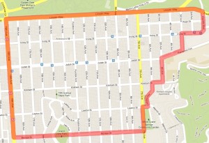 53% white, 34% Asian, 7% Latino, 2% African American, with the remainder being small numbers of other ethnicities.
The Inner Sunset is known for its walkability, commercial corridor centered at 9th Avenue & Irving Street, and sense of community. Although residents must brave chilly fog from May to August, the September to November months are usually warm and sunny.
In 2014, Tani Elliott, a graduate student in UC Berkeley’s City and Regional Planning Department, undertook an extensive survey of the Inner Sunset’s character. To see the full results of this neighborhood snapshot, click on the image below.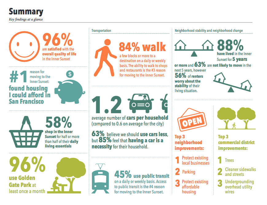 LANDMARKS
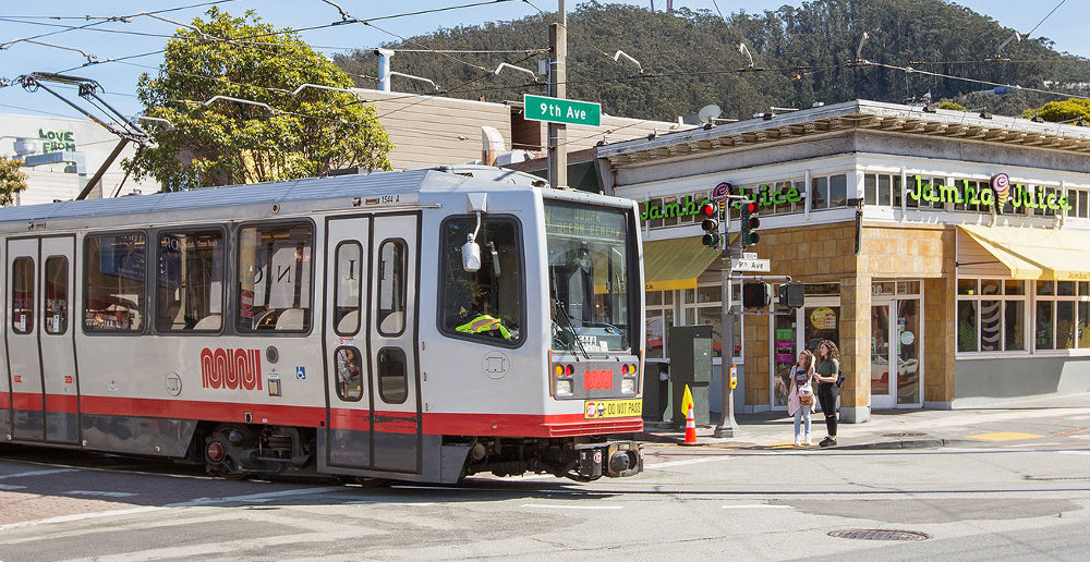
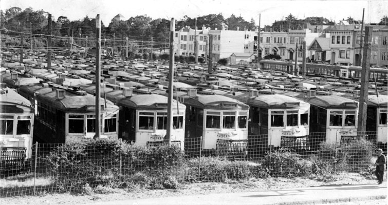
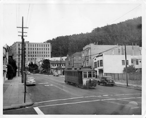
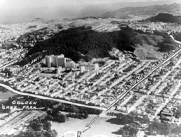
The Inner Sunset is close to numerous prominent landmarks, including Golden Gate Park, the Academy of Sciences, Botanical Garden, de Young Museum, and UCSF. The famous N Judah street car also runs through the neighborhood.
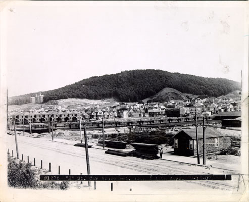
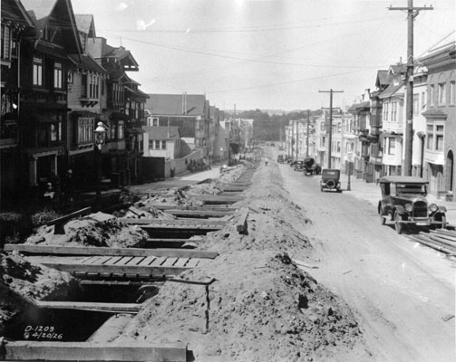
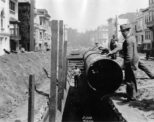
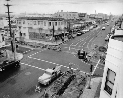
HISTORY
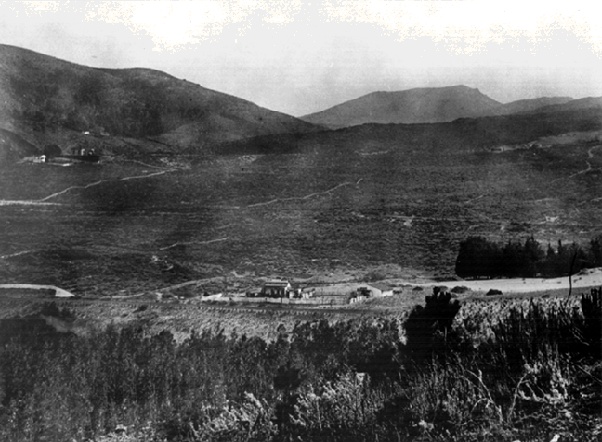
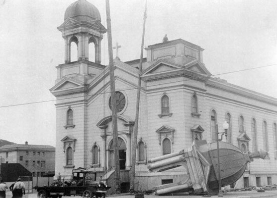
Like the rest of the Outside Lands (the old name for the western part of San Francisco), the Inner Sunset was sand dunes until 1887 when developer Aurelius E. Buckingham bought a plot of land around 5th Avenue and Lincoln Way and started to develop the area. UCSF medical center established itself uphill from the neighborhood in 1897. The neighborhood’s development was further spurred by the 1894 California Midwinter Exposition in nearby Golden Gate Park and by relocated refugees following the 1906 earthquake.
MORE INFORMATION